Trainings

Reference standard road and highway geometries: lane widths, sidewalks, medians, shoulders, tapers, crosswalks, and signal heights in m & ft.
Highway Design, Pavement, Traffic Engineering, Trainings

Standard Geometries in Road and Highway Design: Quick Reference

Designing streets and highways requires careful attention to geometric standards. Lane widths, sidewalk sizes, medians, and other roadway elements affect safety, efficiency, and comfort. This guide provides a comprehensive reference for planners and traffic engineers, including typical dimensions for freeways, arterials, collectors, and local streets. All dimensions are shown in meters and feet, based on […]


, , ,
Highway Design, Public Transit, Trainings, Transportation Planning

Complete Streets: Designing Roads for Everyone

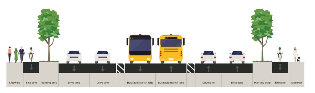
In modern urban planning, streets are no longer just about moving cars efficiently. A Complete Street is designed to safely accommodate all users; drivers, pedestrians, cyclists, transit riders, and people with disabilities. By prioritizing accessibility, safety, and connectivity, complete streets make communities more livable, sustainable, and vibrant. At Arterials, we help cities and developers understand

, , ,
What is ADT LOS DHV PHF in Transportation Engineering
Highway Design, Traffic Engineering, Trainings, Transportation Planning

Transportation & Traffic Engineering Abbreviations: Quick Reference Glossary

This glossary provides a comprehensive reference of commonly used abbreviations in transportation and traffic engineering. It covers terminology relevant to traffic studies, transportation planning, pavement design, and transit operations. Each entry includes a concise definition, with links to detailed guides or tools on Arterials.co, offering a reliable resource for professionals, planners, and students alike. Transportation

, , , , , ,
ArcGIS vs QGIS
GIS, Public Transit, Trainings, Transportation Planning

ArcGIS Pro vs QGIS: Which GIS Software Should Students and Young Professionals Learn?

Geographic Information Systems (GIS) are a core technical skill across urban planning, transportation engineering, environmental management, infrastructure development, and spatial data science. For students and young professionals entering the geospatial industry, one of the most common questions is: Should I learn ArcGIS Pro or QGIS? This article provides a technical, career-focused comparison of ArcGIS Pro

, , , , , ,
Effective Green
Traffic Engineering, Trainings, Transportation Planning

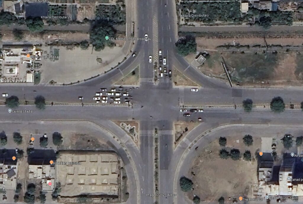
Green Time vs Effective Green Time: What’s the Difference?

Signalized intersections are at the heart of urban mobility. To optimize traffic flow, planners and engineers must understand key signal timing concepts—two of the most important being Green Time and Effective Green Time. Although they sound similar, they serve different purposes in capacity analysis and signal design. This post explains both terms, highlights the differences,

, , ,
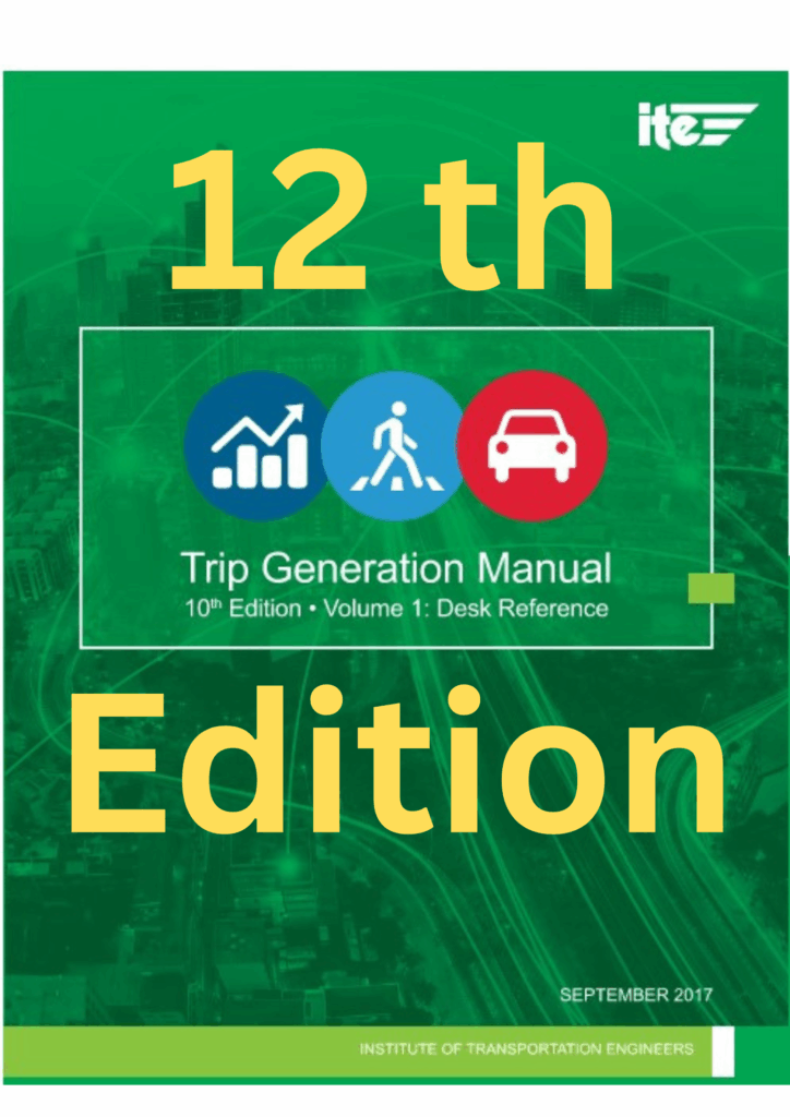
ITE Trip Generation Manual 12th Edition
Parking, Traffic Engineering, Trainings, Transportation Planning

ITE Trip Generation Manual 12th Edition — What’s New and How to Access It

In the world of traffic engineering and transportation planning, few resources are as widely recognized (and as frustratingly hard to access) as the ITE Trip Generation Manual. With the release of the 12th Edition, transportation professionals are eager to see what’s new, but also wondering how to actually access it without paying hundreds of dollars.

, , , , , ,
ITE Institute of Transportation Engineers Arterials
Traffic Engineering, Trainings, Transportation Planning

What Is ITE (Institute of Transportation Engineers) — And Why Every Transportation Professional Should Know About It

Transportation planning and traffic engineering are rapidly evolving — from traditional road design to smart mobility, AI-driven analytics, and sustainable transport. Yet behind all this progress, there’s one global organization quietly connecting professionals, setting standards, and advancing the field: the Institute of Transportation Engineers (ITE). Whether you’re a student, engineer, planner, or researcher, understanding ITE

, , , ,
Peak Hour Trip Estimation Calculator
Traffic Engineering, Trainings

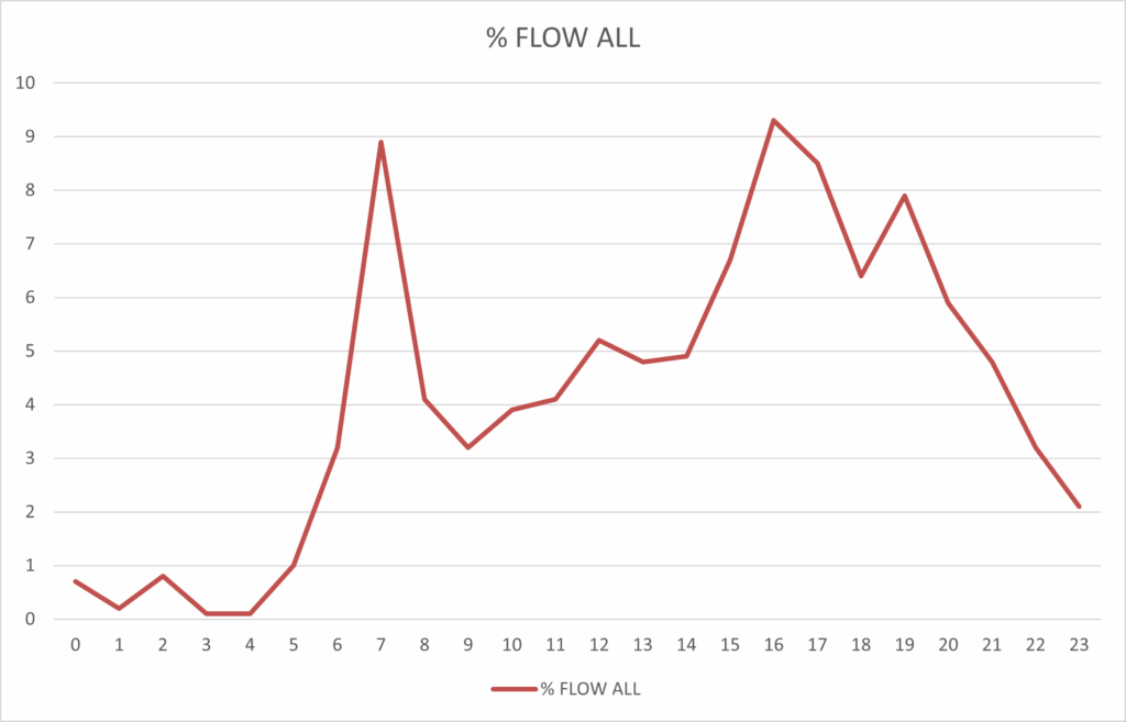
What is Rush Hour Traffic? How Engineers Calculate Peak Hour Traffic Volumes

When most people talk about rush hour traffic, they’re thinking about the frustrating congestion on roads during the morning and evening commute. Transportation engineers use a more technical term for the same idea: peak hour traffic. Understanding how traffic builds up during these busy times is crucial for designing roads, planning intersections, and evaluating new

, , , , , , , , ,
Traffic Impact Assessment TIA Guidelines
Traffic Engineering, Trainings, Transportation Planning

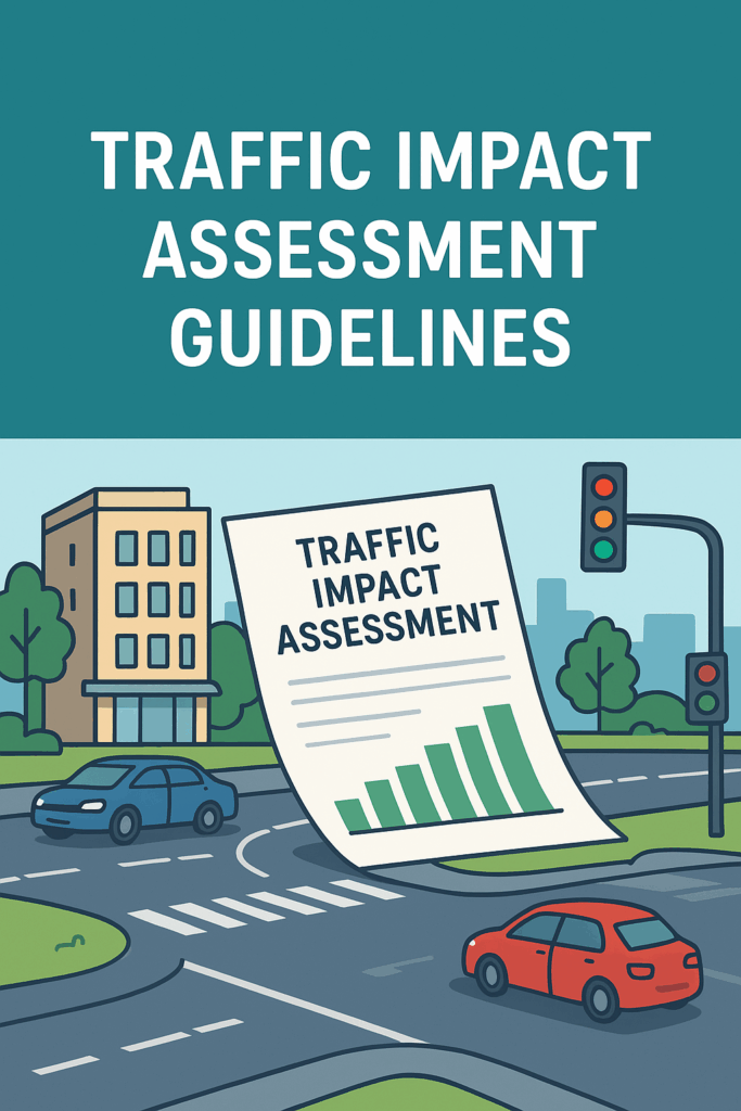
Traffic Impact Assessment (TIA) Guidelines for Municipalities

Traffic Impact Assessments (TIAs) are critical tools that help municipalities understand how new developments will affect local transportation networks. These TIA guidelines provide a practical framework for preparing and reviewing TIAs in municipalities that do not yet have their own standards. The intent is to balance technical credibility with simplicity, ensuring municipalities can review studies

, , , , , , , , , , , ,
k factor
Traffic Engineering, Trainings

Understanding the K-Factor in Traffic Engineering

In traffic engineering, the K-factor is a critical parameter used in roadway design and traffic analysis. It represents the proportion of Annual Average Daily Traffic (AADT) that occurs during the design hour, and it allows engineers to size and evaluate roadways for their most critical operating conditions. Trying to calculate a traffic signal warrant? Try

, , , , , , , , , , ,
Scroll to Top