
transit-oriented development

ArcGIS vs QGIS
GIS, Public Transit, Trainings, Transportation Planning

ArcGIS Pro vs QGIS: Which GIS Software Should Students and Young Professionals Learn?

Geographic Information Systems (GIS) are a core technical skill across urban planning, transportation engineering, environmental management, infrastructure development, and spatial data science. For students and young professionals entering the geospatial industry, one of the most common questions is: Should I learn ArcGIS Pro or QGIS? This article provides a technical, career-focused comparison of ArcGIS Pro […]
, , , , , ,
how to increase transit revenue
Public Transit

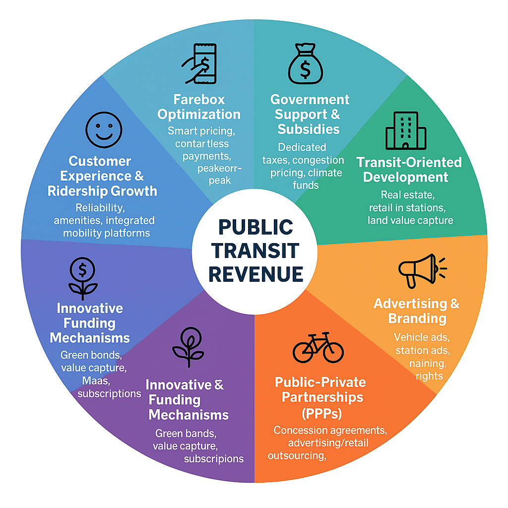
Revenue Generating Strategies for Public Transit Services

Public transit systems are the backbone of urban mobility—moving millions of people daily, reducing congestion, and supporting economic activity. Yet, many agencies around the world struggle with financial sustainability. Farebox revenue alone rarely covers operating costs, and capital-intensive expansions demand alternative funding sources. To thrive, transit agencies must diversify their income streams beyond fares. This

, , , , , , , , , ,
Scroll to Top