Pavement

Traffic Calming Island
Highway Design, Pavement, Traffic Engineering, Transportation Planning

Traffic Calming Strategies: Making Streets Safer and More Livable

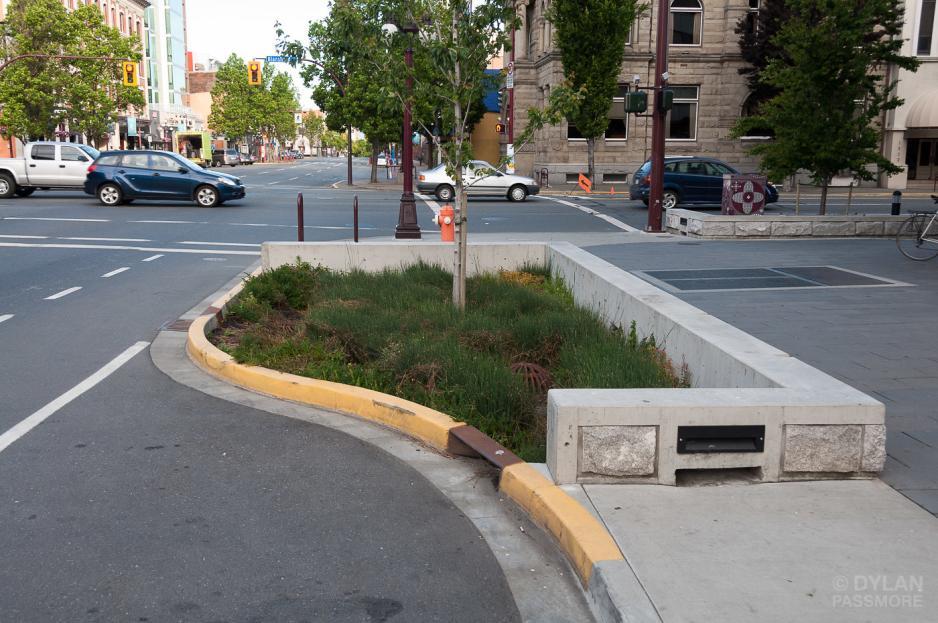
What is Traffic Calming? Traffic calming refers to a range of design strategies and measures used to reduce vehicle speeds, improve road safety, and enhance the overall environment for pedestrians and cyclists. At its core, traffic calming is about shifting streets from being purely vehicle-dominated corridors to shared public spaces where safety and livability come […]

, , , , , ,
turn lane warrant AASHTO
Highway Design, Pavement, Traffic Analysis Tools, Traffic Engineering, Transportation Planning

Turning Lane and Auxiliary Lane Design: Warrants, Criteria, and Best Practices

One of the most common questions in traffic impact assessments (TIAs) is whether to propose turning lanes, acceleration lanes, or deceleration lanes. While adding lanes may seem like a straightforward solution to congestion, proposing them without justification can create unnecessary cost, invite reviewer comments, or even compromise safety. In this post, we’ll explain when to

, , , , ,
Swept Path Analysis for Driveway design
Highway Design, Parking, Pavement, Traffic Engineering, Trainings, Transportation Planning

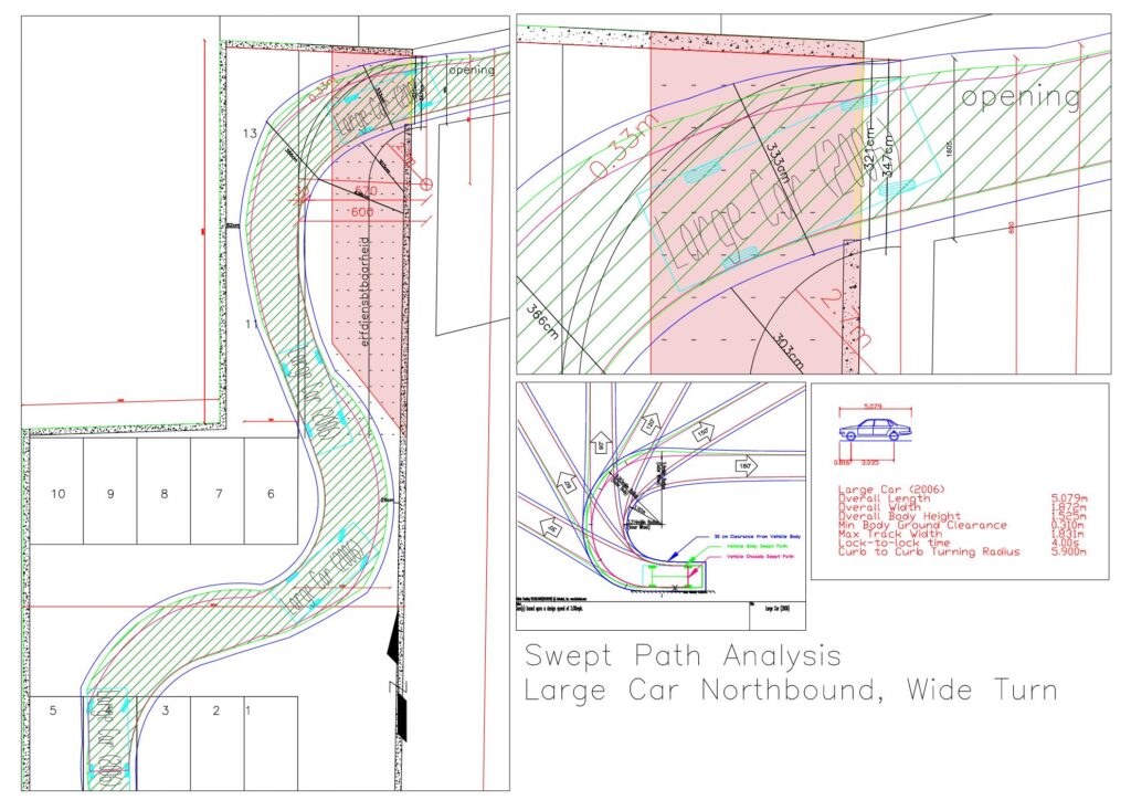
Swept Path Analysis and Vehicle Tracking in Traffic Impact Studies

Swept path analysis (also referred to as vehicle tracking) is a core technical component of traffic engineering and site access review. It evaluates whether design vehicles can safely and realistically maneuver through intersections, site accesses, parking areas, and constrained roadway environments. For transportation planners, civil engineers, and approving agencies, swept path analysis provides defensible evidence

, , , , ,
Reference standard road and highway geometries: lane widths, sidewalks, medians, shoulders, tapers, crosswalks, and signal heights in m & ft.
Highway Design, Pavement, Traffic Engineering, Trainings

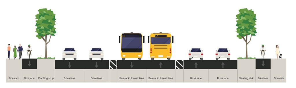
Standard Geometries in Road and Highway Design: Quick Reference

Designing streets and highways requires careful attention to geometric standards. Lane widths, sidewalk sizes, medians, and other roadway elements affect safety, efficiency, and comfort. This guide provides a comprehensive reference for planners and traffic engineers, including typical dimensions for freeways, arterials, collectors, and local streets. All dimensions are shown in meters and feet, based on

, , ,
Calculate Construction Traffic
Highway Design, Pavement, Traffic Analysis Tools, Traffic Engineering, Transportation Planning

How to Estimate / Calculate Construction Traffic for Pavement Design

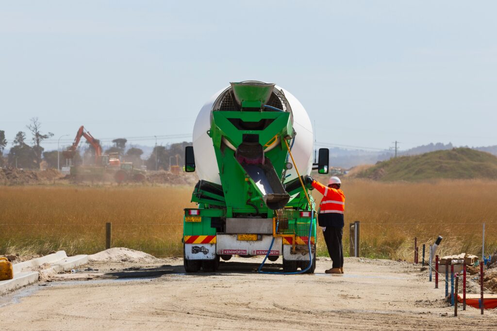
When designing roads, access drives, or service lanes around a development, engineers often focus on long-term operational traffic. However, in many projects, the most damaging traffic occurs during construction, not after completion. Heavy dump trucks, concrete mixers, low-bed trailers, and cranes can impose axle loads far greater than normal service vehicles. If construction traffic is

, , , , , , , , ,
What is AADT
Highway Design, Pavement, Traffic Engineering, Transportation Planning

What is AADT (Annual Average Daily Traffic) in Traffic Engineering?

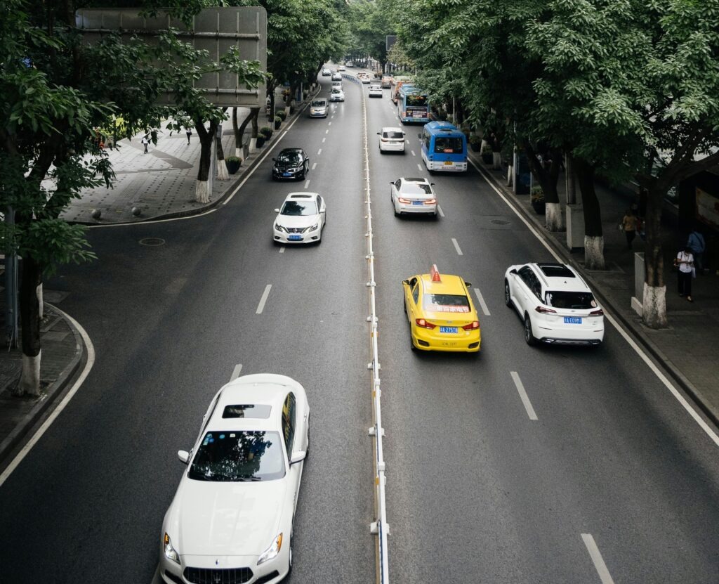
Annual Average Daily Traffic (AADT) is one of the most fundamental measures in traffic engineering and transportation planning. It represents the average number of vehicles that travel on a roadway segment each day over the course of an entire year. Put simply, it is a way to smooth out traffic variations across weekdays, weekends, and

, , , , , , , , ,
Innovative Road Design Solutions for Climate Resilience
Highway Design, Pavement, Transportation & Climate Resilience, Transportation Planning

Innovative Road Design Solutions for Climate Resilience

Why Roads Must Adapt to a Changing Climate Roads and highways form the backbone of global transport networks. Yet, they are increasingly vulnerable to the impacts of climate change—flooding, extreme heat, erosion, and storm damage. As weather patterns intensify, traditional road designs are no longer sufficient. Engineers and planners must now integrate resilience strategies to

, , , , , , , ,
Adapting Road and Rail Networks to Climate Change
Pavement, Public Transit, Transportation & Climate Resilience, Transportation Planning

Adapting Road and Rail Networks to Climate Change & Extreme Weather

Why Climate Resilience Matters Climate change is no longer a distant risk—it is a present-day reality. Rising temperatures, heavier rainfall, stronger storms, and frequent flooding are directly affecting how transport systems operate. Road and rail networks, designed for “historical” weather conditions, are increasingly vulnerable to climate extremes that disrupt connectivity, raise maintenance costs, and endanger

, , , , , , , , , ,
ESAL
Highway Design, Pavement, Traffic Engineering

ESAL Cheat Sheet: Quick Reference for Pavement Engineers

What is an ESAL? ESAL Formula Where: Typical Load Equivalency Factors (LEFs) (based on AASHTO & typical LEFs) Vehicle Type Axles Typical Load (kips per axle) Approx. ESAL per Pass Passenger Car (sedan) 2 2–3 0.0004 Pickup / SUV 2 3–4 0.001 Delivery Van (2-axle, light) 2 4–5 0.005 Single-Unit Truck (2-axle, 6-tire) 2 6–9

, , , , , , , , , , , , ,
Flexible vs. Rigid Pavement
Highway Design, Pavement, Traffic Engineering, Transportation Planning

Flexible vs. Rigid Pavement: Which Is Right for Your Project?

When planning a new road, street, or highway, one of the most important decisions you’ll face is whether to use flexible or rigid pavement. Each has its advantages, costs, and ideal use cases. Choosing the right type of pavement can save millions in construction and maintenance over the project’s lifecycle. In this post, we break

, , , , , , , ,
Scroll to Top