Catchment Area Map Tool – Walking, Cycling, and Driving
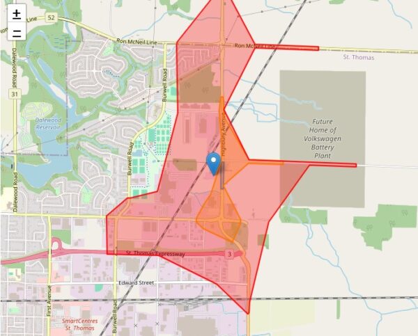
This free, interactive Catchment Area Map Generator Tool allows transportation planners, urban designers, engineers, and real estate developers to quickly generate travel-time catchment maps for walking, cycling, and driving. Enter any address or click on the map to visualize service areas based on customizable travel durations (e.g., 2, 10, or 15 minutes). The tool supports … Continue reading Catchment Area Map Tool – Walking, Cycling, and Driving